ATBI Project
Explore our Research Opportunities
Be part of the All Taxa Biodiversity Inventory (ATBI)
What is an ATBI and Why is it Important?
What is an ATBI and Why is it Important?
Building a Complete Picture of Life in the Laurel River Watershed
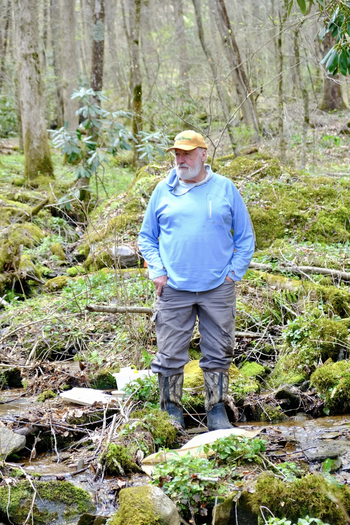
An All Taxa Biodiversity Inventory (ATBI) is a comprehensive, long term effort to identify and document every living species within a defined area. This includes plants, animals, fungi, and insects, along with how these species interact with one another and how the surrounding ecology changes over time. Rather than focusing on a single group of organisms, an ATBI builds a complete, living picture of an ecosystem's biodiversity!
WREN Center is developing the Laurel River ATBI in collaboration with scientists, universities, landowners, taxonomic specialists, students, and community volunteers. Together, these partners bring the expertise and local knowledge needed to document the full richness of life throughout the watershed.
About the Laurel River Watershed
The Laurel River in Western North Carolina drains 133 mi² of Madison County, with approximately 90% of the watershed being forested. Fifty-nine miles of the border between North Carolina and Tennessee are within the Appalachian Trail National Park.
These very small headwater streams along the AT provide the organic material needed to drive the ecosystem's health downstream. Madison County may be the Jewel of the Blue Ridge, but the Laurel River is its diamond.
New Regional Partnership with ETSU
WREN Center is now collaborating with East Tennessee State University on a proposed EPA-supported initiative to assess the health, biodiversity, and resilience of Southern Appalachian wetlands following Hurricane Helene.
The project will expand WREN’s All Taxa Biodiversity Inventory beyond the Laurel River watershed as part of a coordinated network of approximately 30 wetland study sites across western North Carolina and eastern Tennessee. Researchers will examine sites representing different levels and types of hurricane disturbance, including flooding, landslides, and forest blowdown.
The collaboration will combine WREN’s community-based ATBI, education and public-outreach experience with ETSU’s expertise in ecology, wetland science, geographic information systems, landslide assessment, and environmental modeling.
WREN and ETSU aim to create a long-term wetland monitoring network that strengthens the Laurel River ATBI while contributing to a broader understanding of how Southern Appalachian ecosystems recover from Hurricane Helene and respond to future environmental change.
Our ATBI Approach
We hope to mirror, to some extent the work being done in the Great Smoky Mountains National Park. The Smokies All Taxa Biodiversity Inventory (ATBI) has doubled the number of species known in the park from around 10,000 species when the project began in 1998, to now more than 21,000 species. These include over 11,000 species that represent new records for the park and more than 1,000 species that are new to science!
Project Leadership
The executive director of the WREN Center and members of the Board of Directors are trained scientists and will lead the initiative initially. However, we recognize that grant money will be necessary to fund trained taxonomists in other fields.
Study Sites
The WREN staff will select:
⦁ A minimum of 5 terrestrial plots of 10 m² with permission and encouragement of private landowners
⦁ Hopefully public plots within the National Forest as well
⦁ A minimum of 5 aquatic sites at several stream orders (watershed sizes)
⦁As many education sites as possible, located on school properties or educational venues
Methodology
Collection protocols will be developed for each taxonomic working group (or TWIG), and samples will be collected to document the greatest diversity during the most productive seasons for each TWIG.
Significance of This Initiative
This initiative is the first of its kind outside of the Great Smoky Mountains National Park. The Laurel River ATBI represents a groundbreaking opportunity to understand and preserve one of Western North Carolina's most important watersheds.
Current Research Status
Despite the unique qualities of this watershed, very little data have been collected:
⦁ The NC Division of Water Resources has collected data from only 10 sites, with only one site sampled more than once
⦁ A citizen science monitoring program (Stream Monitoring Information Exchange Program) collects data annually from the Laurel River near Belva
⦁ All existing data have resulted in 'Excellent' or 'Good' bio-classifications using the protocols of the Division of Water Resources
The Laurel River watershed is the richest and most diverse tributary of the Lower French Broad watershed and provides a steadfast refuge for the recolonization of other tributaries and the French Broad itself.
Environmental Challenges
The Laurel River is exceptionally healthy and biologically diverse yet still faces several threats:
⦁ The effects of climate change
⦁ Development pressures
⦁ Massive natural disasters such as longer, more severe droughts
⦁ Higher-intensity rainfall events and flash flooding
⦁ Impact from non-native species on watershed diversity
Get Involved
For more information about the Laurel River All Taxa Biodiversity Inventory or if you are interested in biological research and want to contribute to the ATBI, please contact:
WREN Center: [email protected]
Dave Penrose: [email protected]
The Laurel River watershed, exceptionally diverse within the Lower French Broad system, serves as a vital refuge for species recolonizing in neighboring waterways.

Whiterock
Research Education
& Nature Center
WREN Center acknowledges the traditional custodians of the land and waters on which the society members gather and acknowledge and pay respect to their Elders; past, present and emerging. We honor the past, respect the present and look towards a prosperous and reconciled future
© WREN Center 2026 All Rights Reserved.